Innovative IT & Geo-Services Solutions
About Géo-Concept Tech
Pioneering the future of technology and geospatial services
Our Mission
To provide innovative IT and geospatial solutions that empower businesses and organizations to make data-driven decisions and achieve sustainable growth.
Our Vision
To be the leading technology partner in West Africa, recognized for excellence in IT services, geospatial solutions, and professional training.
Our Values
Innovation, integrity, excellence, and commitment to delivering exceptional value to our clients through cutting-edge technology solutions.
Our Services
Comprehensive IT and geospatial solutions tailored to meet your specific needs. From web development to drone surveys, we deliver excellence across all domains.
Professional web development and reliable hosting solutions for your business.
Interactive web-based platforms for spatial data visualization and analysis.
Custom mobile app development for iOS and Android platforms.
Professional design services for posters, flyers, wedding cards, and branding.
Professional photo editing and identity photo services.
Complete video production services from concept to final delivery.
Aerial mapping and 3D modeling using advanced drone technology.
Comprehensive structural inspections using cutting-edge technology.
Specialized map creation for various industries and applications.
Precise land surveying and topographical mapping services.
Advanced 3D modeling for construction and architectural projects.
Comprehensive project monitoring and evaluation services.
Professional Training Programs
Enhance your skills with our comprehensive training programs in cutting-edge software and technologies. Led by industry experts with hands-on practical experience.
Mobile data collection and survey management platform for field research.
Key Topics:
Comprehensive GIS software training for spatial analysis and mapping.
Key Topics:
Open-source geographic information system for spatial data analysis.
Key Topics:
Remote sensing and image analysis software for environmental monitoring.
Key Topics:
Statistical software package for data analysis and research.
Key Topics:
Epidemiological analysis and database software for public health.
Key Topics:
Survey and market research software for questionnaire design and analysis.
Key Topics:
Notre Équipe d'Experts
Découvrez les professionnels passionnés derrière Géo-Concept Tech. Notre équipe diversifiée combine une expertise technique avec une innovation créative pour offrir des résultats exceptionnels.

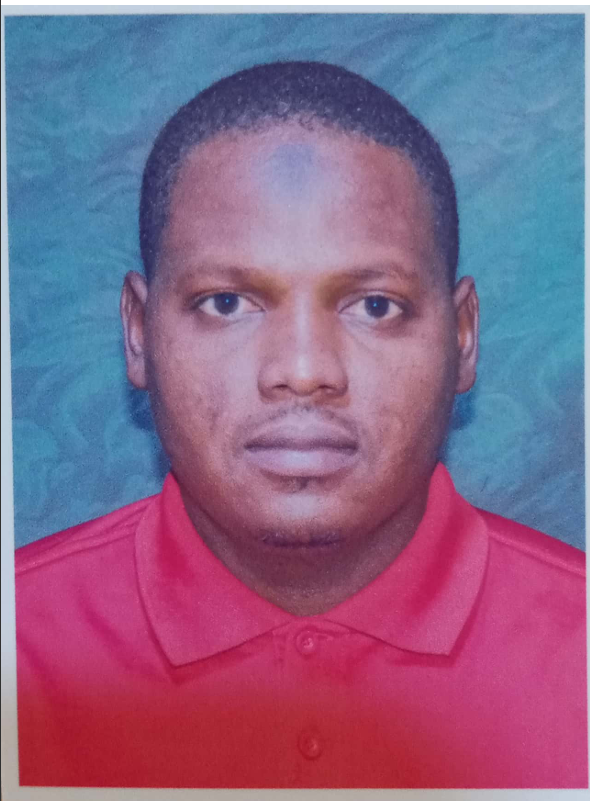
Ing. Abdou Folga Moustapha
CEO | Ingénieur Géospatial & Consultant SIG
Ingénieur passionné par l'innovation géospatiale et les nouvelles technologies. Expérience confirmée dans l'analyse SIG et l'accompagnement de projets cartographiques.
Expertise:
Nazir Dodo M. Nourou
Géomètre-Expert
Professionnel certifié en géomatique, spécialisé dans le foncier, la topographie et la précision cartographique. Reconnu pour sa rigueur et son expertise terrain.
Expertise:

Abdoulaye Younoussi Hamidou
Expert en Cartographie & Imagerie Satellitaire
Spécialiste en observation de la Terre et traitement d'images satellitaires, avec une expertise en télédétection appliquée à l'aménagement et à la recherche.
Expertise:
Abdoul Karim Mahamadou Issahaka
Planificateur & Aménagiste
Urbaniste et aménagiste visionnaire, expert en planification urbaine et territoriale. Œuvre pour un développement durable et harmonieux des espaces.
Expertise:

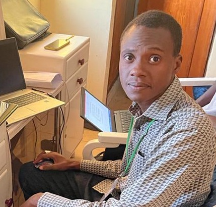
Amadou Habou Gremah Mahamadou
Développeur Informatique & Assistant IT
Développeur polyvalent et passionné par l'innovation numérique. Spécialiste des applications web et mobiles, avec une expertise en assistance IT et transformation digitale.
Expertise:
Hadiza Toudjani Ousmane
Experte en Bases de Données & Aménagement du Territoire
Spécialiste en conception, gestion et exploitation des bases de données appliquées à l’aménagement du territoire, avec une forte expérience en analyse et organisation de l’information.
Expertise:

Yahaya Garba Ousmane
Expert en Gestion de Projet & Suivi-Évaluation
Expert reconnu en pilotage de projets et suivi-évaluation, avec des compétences approfondies en planification stratégique et mesure d’impact.
Expertise:

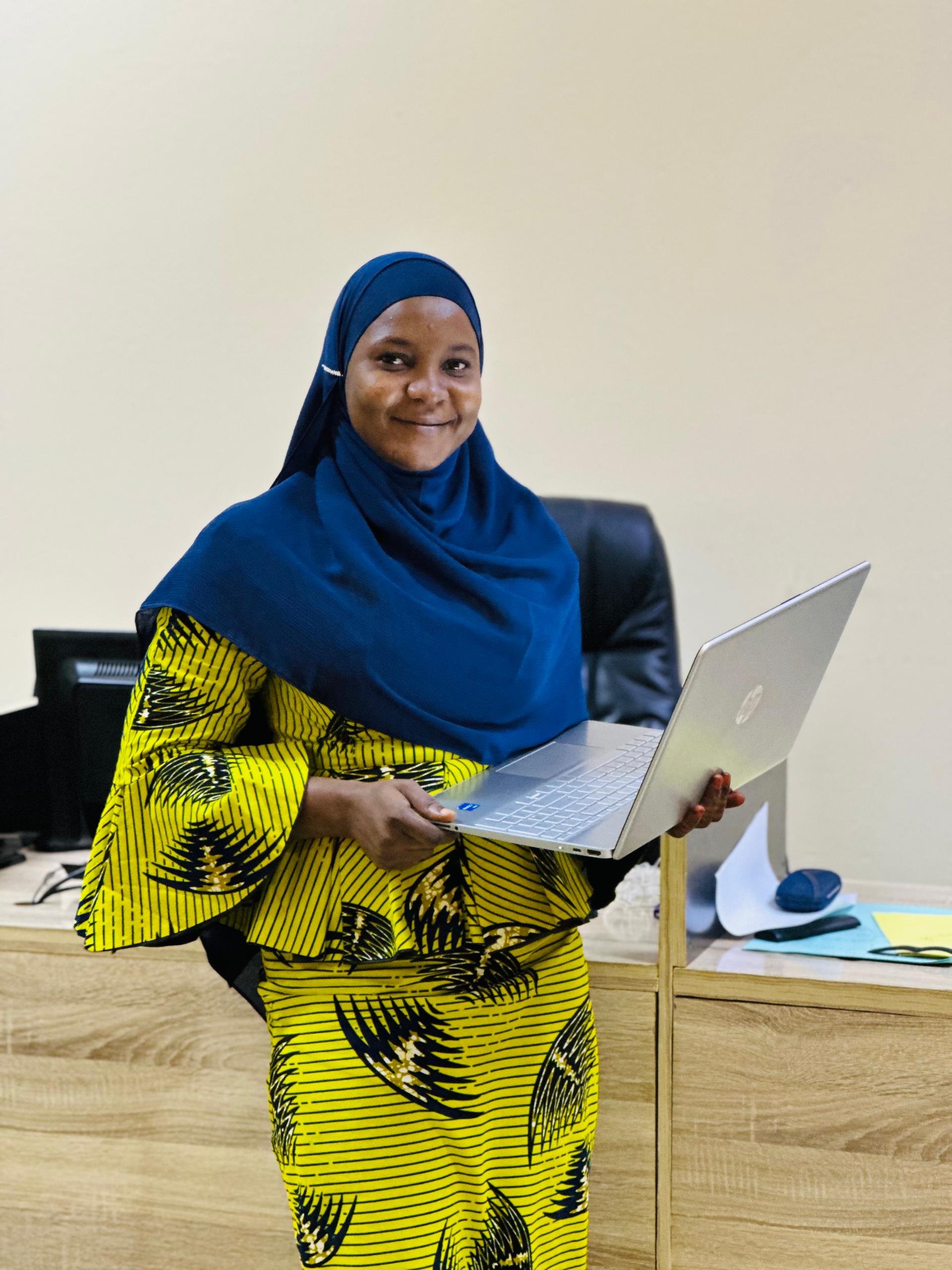
Lalla Fatoumata
Experte en Genre & Développement
Spécialiste en genre et développement, engagée dans la promotion de l’égalité, l’autonomisation et l’intégration des questions de genre dans les politiques publiques et projets.
Expertise:
Our Portfolio
Explore our successful projects and innovative solutions. From geospatial applications to web development, see how we transform ideas into reality.
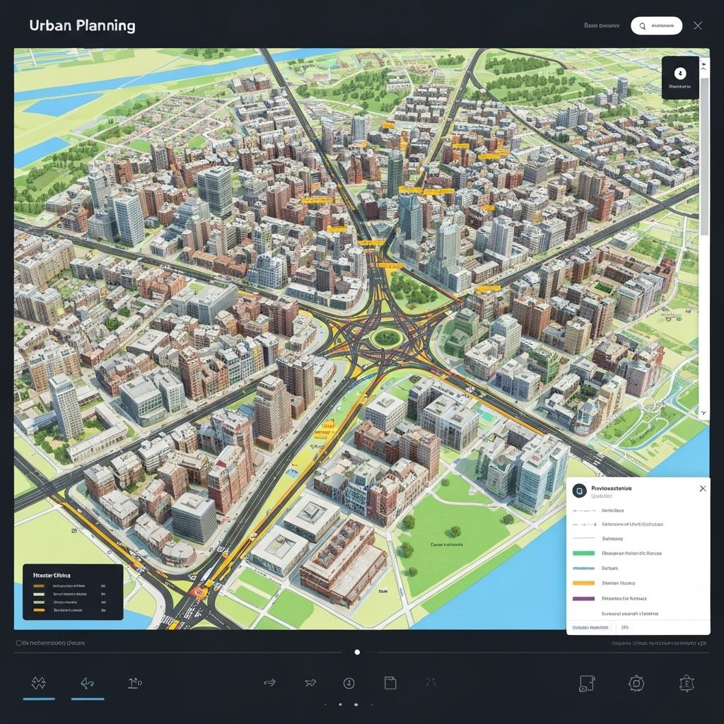
Zinder Urban Planning Portal
Interactive web-based geoportal for urban planning and development monitoring in Zinder city.
Technologies:
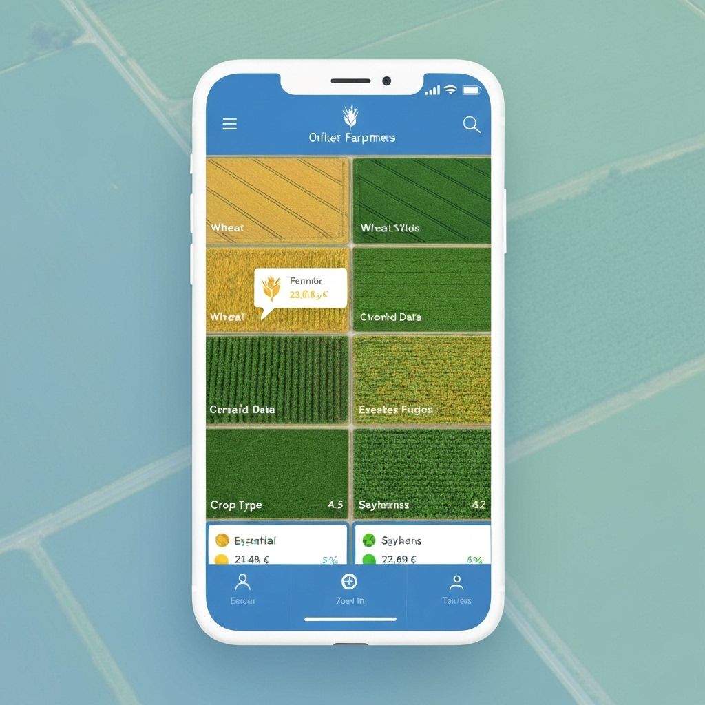
Agricultural Monitoring System
Mobile application for real-time agricultural monitoring and crop yield prediction using satellite data.
Technologies:
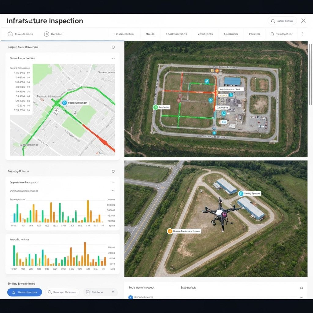
Infrastructure Inspection Dashboard
Comprehensive dashboard for infrastructure inspection using drone technology and 3D modeling.
Technologies:

Health Facility Mapping
Spatial analysis and mapping of health facilities accessibility in rural areas of Niger.
Technologies:

E-Commerce Platform
Full-featured e-commerce platform with inventory management and payment integration.
Technologies:
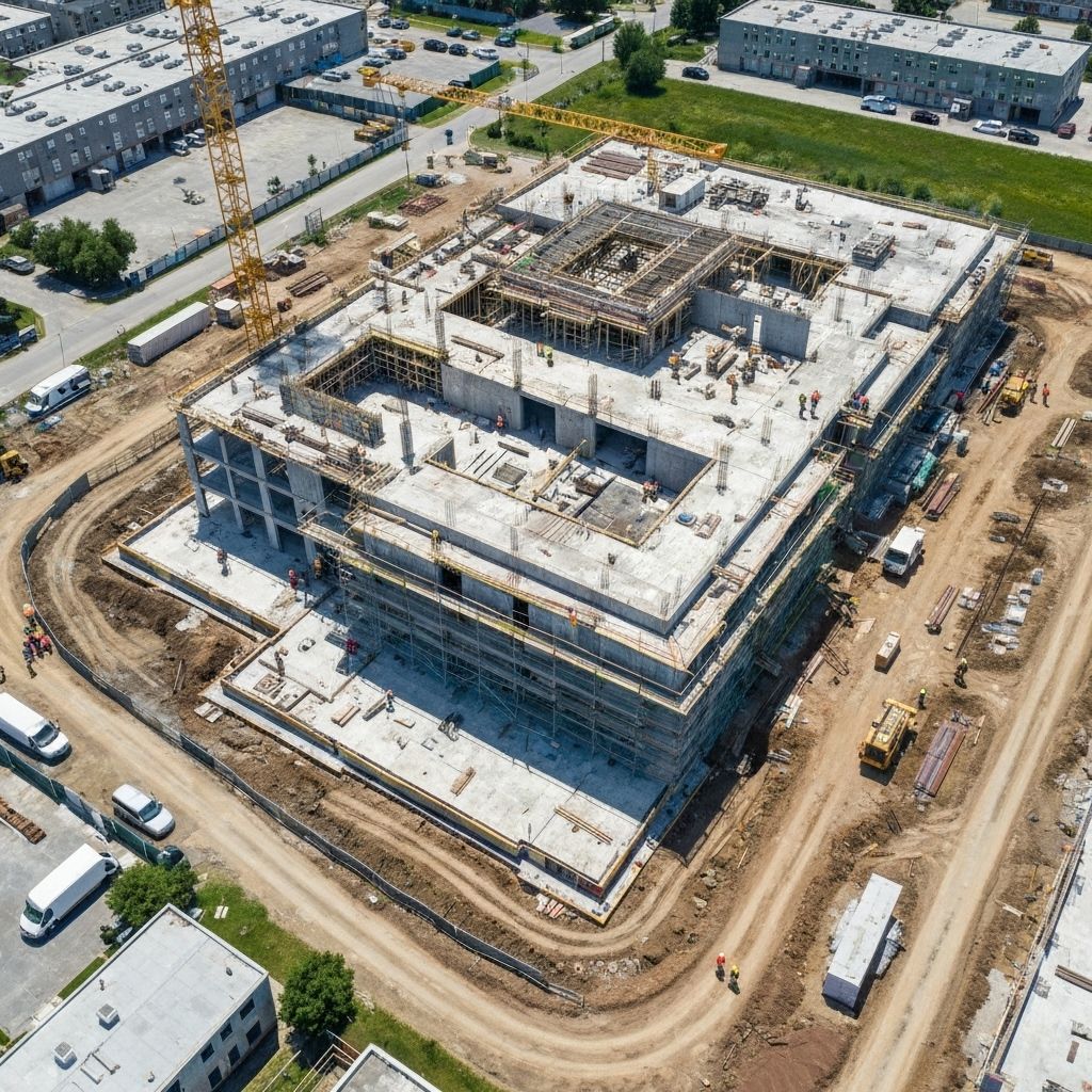
Drone Survey Documentation
Comprehensive drone survey and 3D mapping for large-scale construction project documentation.
Technologies:
Get In Touch
Ready to transform your ideas into reality? Contact us today to discuss your project requirements and discover how we can help you achieve your goals with cutting-edge solutions.
Loading map...
GÉO CONCEPT CENTER
Zinder-Randa 7, near Kanya roundabout
Our Location
Zinder-Randa 7
Near Kanya roundabout
Zinder, Niger
Phone Numbers
+227 97 21 89 83
+227 80 58 53 31
Available 24/7
Email Address
abdoufolgamoustapha2@gmail.com
Business Hours
Monday - Friday: 8:00 - 18:00
Saturday: 9:00 - 15:00
Sunday: Closed
Ready to Start Your Project?
Let's discuss how we can bring your vision to life with our expertise in IT and geospatial solutions.